
Skip to content
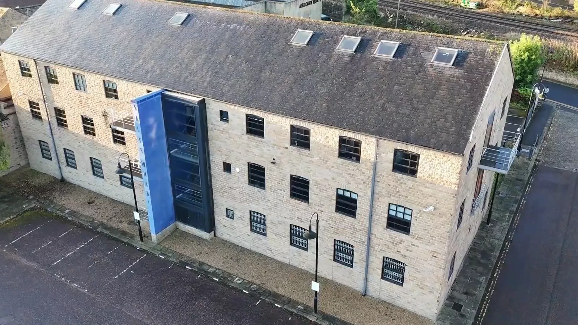
Salt's Wharf, Shipley, home of Gemini Design Solutions

About Gemini

Survey, model and design, under one roof.

Digital surveying, photogrammetry and scanning alongside a comprehensive range of 3D design, modelling, VR and rendering.

Incorporated
2021
Suite 6A Salt's Wharf, West Yorkshire
Shipley
Specialist services
6
Stages, capture to management
6
01

A full turn-key service

Gemini was founded to fulfil the need for a full turn-key service providing digital surveying, photogrammetry and scanning alongside a comprehensive range of 3D facilities such as design, modelling, VR and photorealistic rendering, utilising the very latest hardware and software available.

02

Built for people who need accurate data

Essential for facilities managers, architects, designers, contractors and anyone requiring accurate data sets and models. Having a fully detailed building model across multiple platforms saves not only time spent on site revisits, but the cost implications that go with it — which also cuts down on environmental impact.

03

Survey what you can't safely reach

An overall landscape or building survey provided by a drone has many benefits — not only the practical aspect of viewing areas that may be unsafe to inspect, but it captures every aspect of the building that is visible. When converted to a full 3D model, the position of assets, pipework and associated equipment is available to inspect at any later stage, whether for incorporating new additions, or monitoring and repairing existing estate.

04

An experienced team

Our highly experienced team utilises a wide range of industry knowledge from drone piloting, to rendering and presentation. Every aspect of your project will be considered and realised with timely professionalism from inception to completion.

Technology

The technology behind the model.

We use the latest hardware and software available, and the industry knowledge to run it — from drone piloting through to rendering and presentation.

  • Drone Survey

    Qualified pilots, insured and permitted

  • Photogrammetry

    4K aerial capture converted to 3D

  • Point Clouds

    Dense survey data of the real site

  • Laser Scanning

    4K interior imagery and measurement

  • CAD

    Detailed drawings and models

  • BIM

    Shared, cross-discipline information models

  • Digital Twins

    Static replicas for remote access

  • VR & Rendering

    Walkthroughs and photorealistic visuals

Who we work with

  • Facilities Managers
  • Architects
  • Designers
  • Contractors
  • Project Managers
  • Engineers
  • Housing Associations
  • Local Authorities
  • Heritage & Listed Buildings
  • Real Estate

Have a project in mind?

Tell us what you're working on and we'll help determine the best way to capture, model or design it.