
Capture — Services
Commercial Surveys
Detailed 4K drone surveys of landscape, vegetation, buildings and other assets.
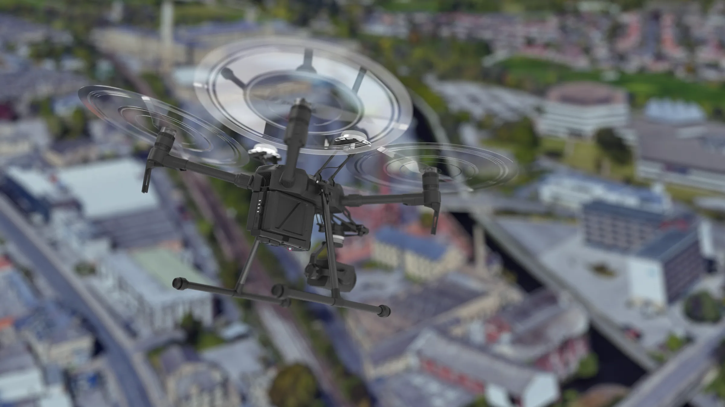
What's involved
A detailed 4K drone survey creates exceptionally detailed digital models of landscape, vegetation, buildings and other assets. This makes it a valuable process for mapping and surveying inaccessible areas, landscapes, including roads and infrastructure, forestry, floodplains and complex structures such as powerlines and manufacturing plant.
Every building and site is different, so each survey is tailored to what the project needs. The drone captures the whole site from above — roofs, elevations, landscape and the areas that aren't safe or practical to reach on foot — and that capture becomes the dataset every later stage works from.
Where more measured detail is needed, LiDAR drone surveys and point cloud scans capture thermal, visual and digital information alongside the imagery.
What you get
- Aerial survey imagery and footage
- Point cloud and photogrammetry models
- Landscape and site scans
- Full digital site models for design and planning
Who it's for
- Architects and engineers
- Contractors and project managers
- Facilities managers
- Local authorities and housing associations
Have a project in mind?
Tell us what you're working on and we'll help determine the best way to capture, model or design it.